Demining
Deep terrain search
Ground-penetrating radar and magnetometers detect metal, utilities and explosive ordnance down to 6 metres: before excavation, construction or land works, with a report valid for contractors and insurers. For investors in Zagreb, Zagreb County and all of Croatia.
Sveta Nedelja · Samobor · Zagreb · Zagreb County
In detail
About the service
The ground remembers
The ground remembers. In Croatia that means a plot where you plan a house, a hall or a vineyard may hide a shell from the Second World War, a mine from the Homeland War or an old utility line that appears on no drawing. Deep search is the procedure that uncovers this before the excavator does: systematically, with a documented result, instead of finding out at the worst possible moment.
Detection methods
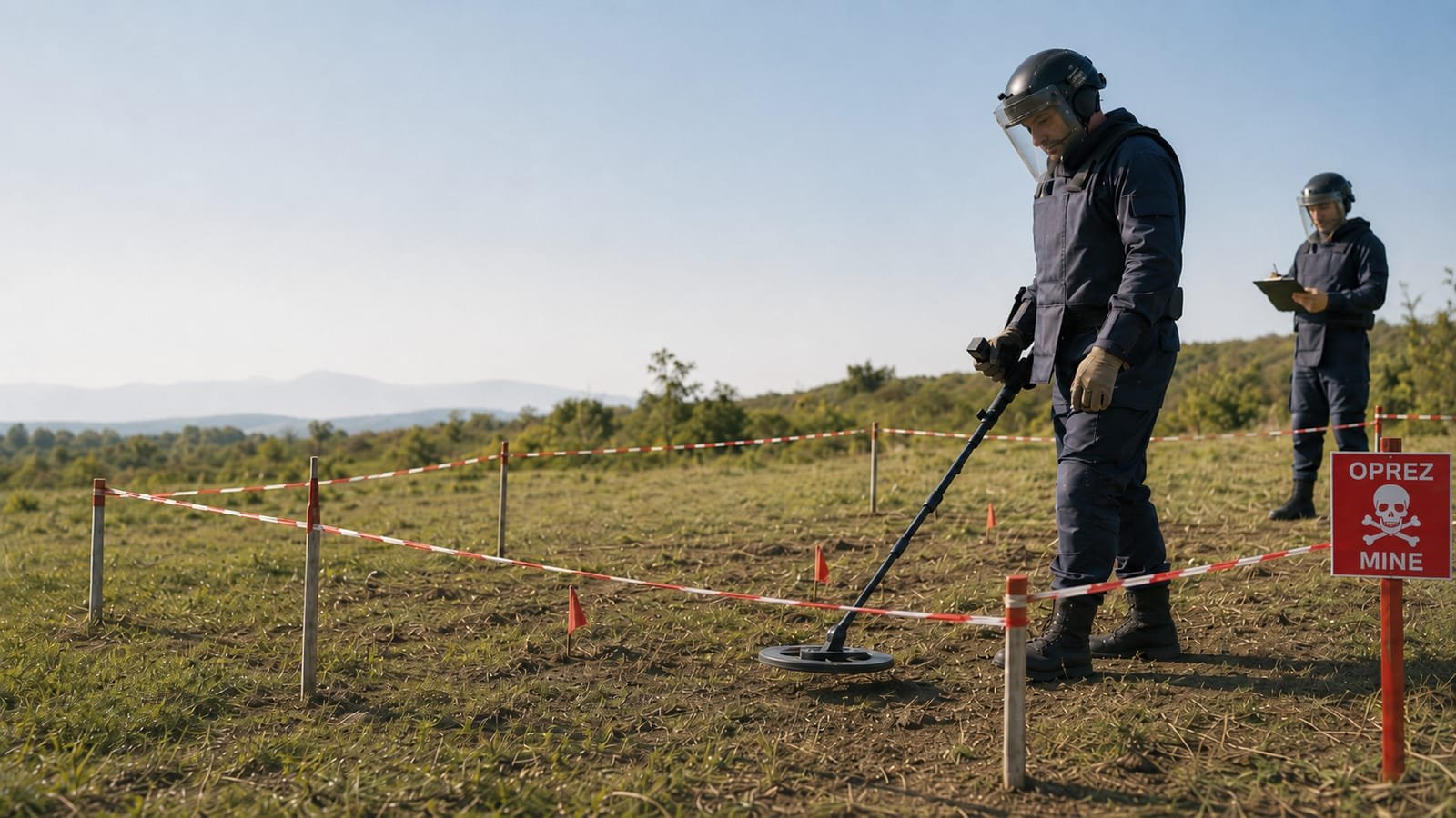
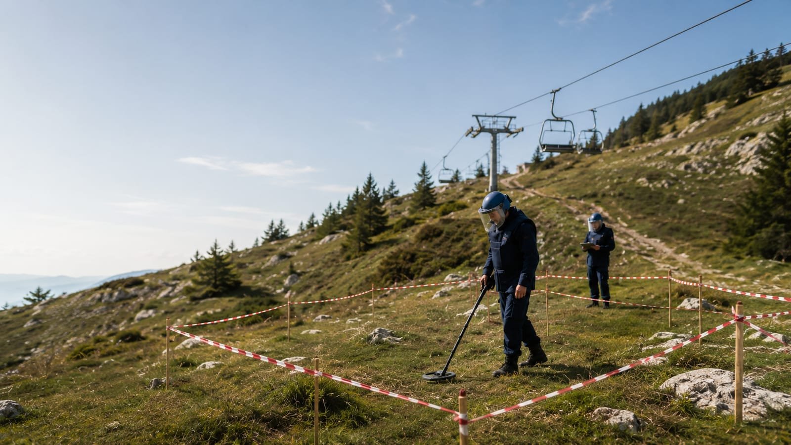
We work with equipment used in professional mine action: magnetometers for detecting ferromagnetic objects (shells, mines with a metal body, steel utilities) to about 1 m and deeper depending on the object's mass, and ground-penetrating radar (GPR) for non-metallic anomalies, voids and structures down to 5-6 m. The combination of methods covers what each alone would miss: GPR sees even a mine's plastic body, the magnetometer confirms metal masses, and an operator with EOD experience interprets the signals instead of just reading a screen.
Procedure and report
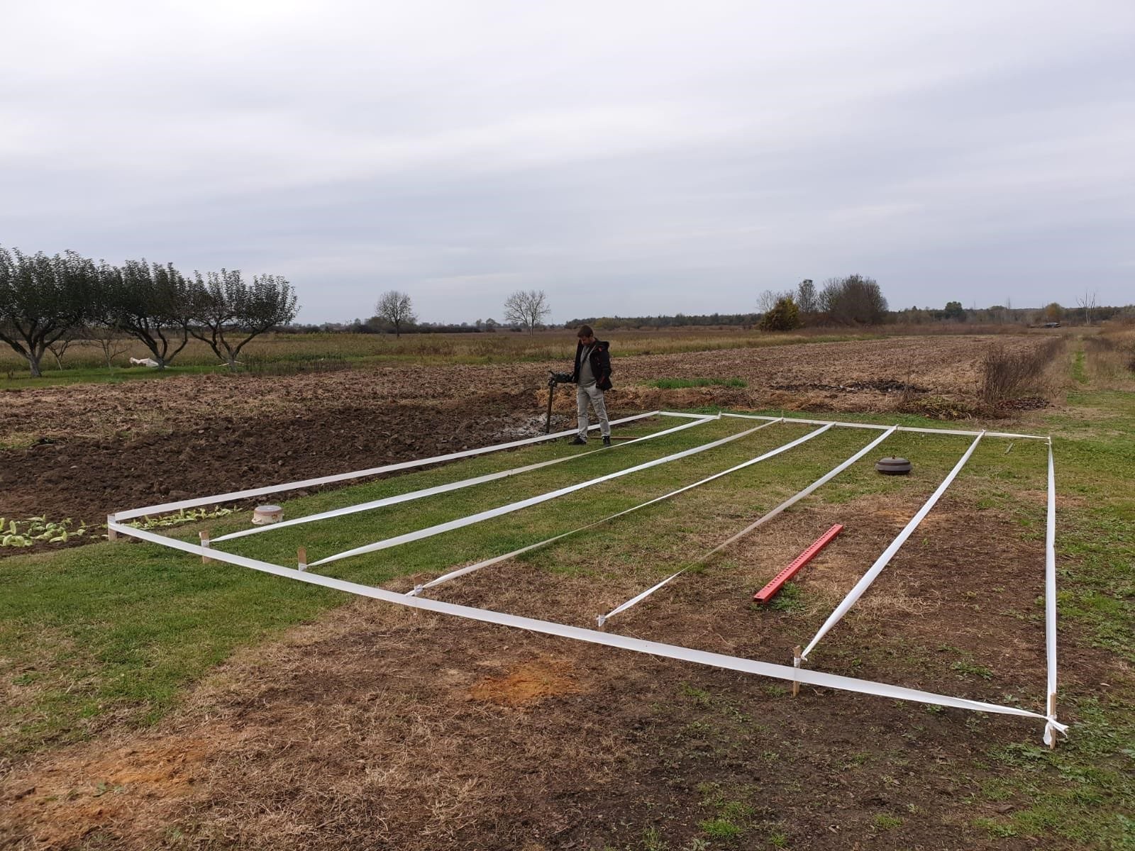
The procedure: we define the search area and depth by purpose (foundations, sewerage, a pool, agricultural cultivation), the terrain is searched in a grid with GPS positioning of every anomaly, and the result is a map with marked points and a search report. If a suspicious object is found, we act by protocol: marking, securing the location and coordination with the competent services for removal. For investors the report means a clear conscience and a document for the contractor, bank and insurer.
Price and references
The price depends on the area, terrain configuration and the required depth: smaller plots (up to 1,000 m²) we search in one day, larger plots and infrastructure routes we plan in sections. Behind us are more than 7.3 million m² of terrain searched and demined in Croatia and Iraq: experience not gained on a training range.
What it includes
Equipment
The equipment we use in the field
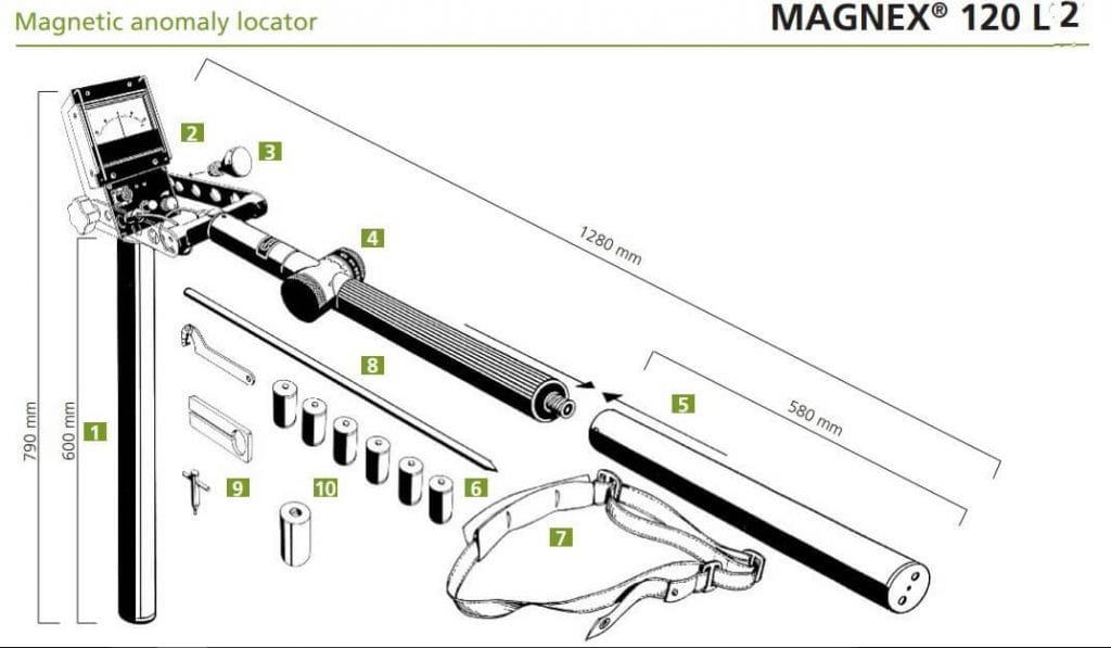
For each site we choose the right device: a magnetic locator for shallower targets and ground-penetrating radar (GPR) for deeper anomalies.
Magnetic locatorup to 1 m
Schonstedt GA-72Cd
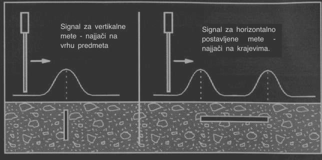
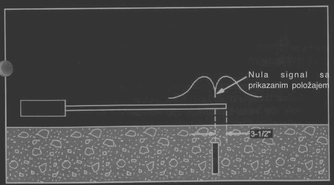
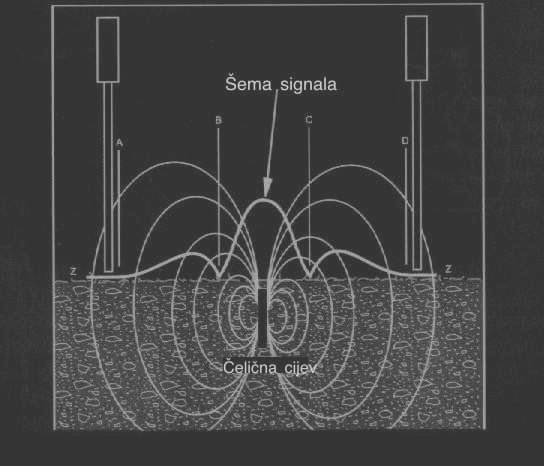
A magnetic locator for shallower targets: it detects pipes, shells and aerial bombs to about one metre deep. The signal shape reveals the type and position of the object, strongest at the top of vertically placed targets and at the ends of horizontally laid ones, so an experienced operator assesses what it is right there in the field.
Ground-penetrating radar (GPR)5 – 6 m
Foerster Ferex 4.035
Ground-penetrating radar (GPR) that records magnetic anomalies in the ground at depths of five to six metres. We use it for deeper structures and anomalies the magnetic locator can't reach.
Ground-penetrating radar (GPR)5 – 6 m
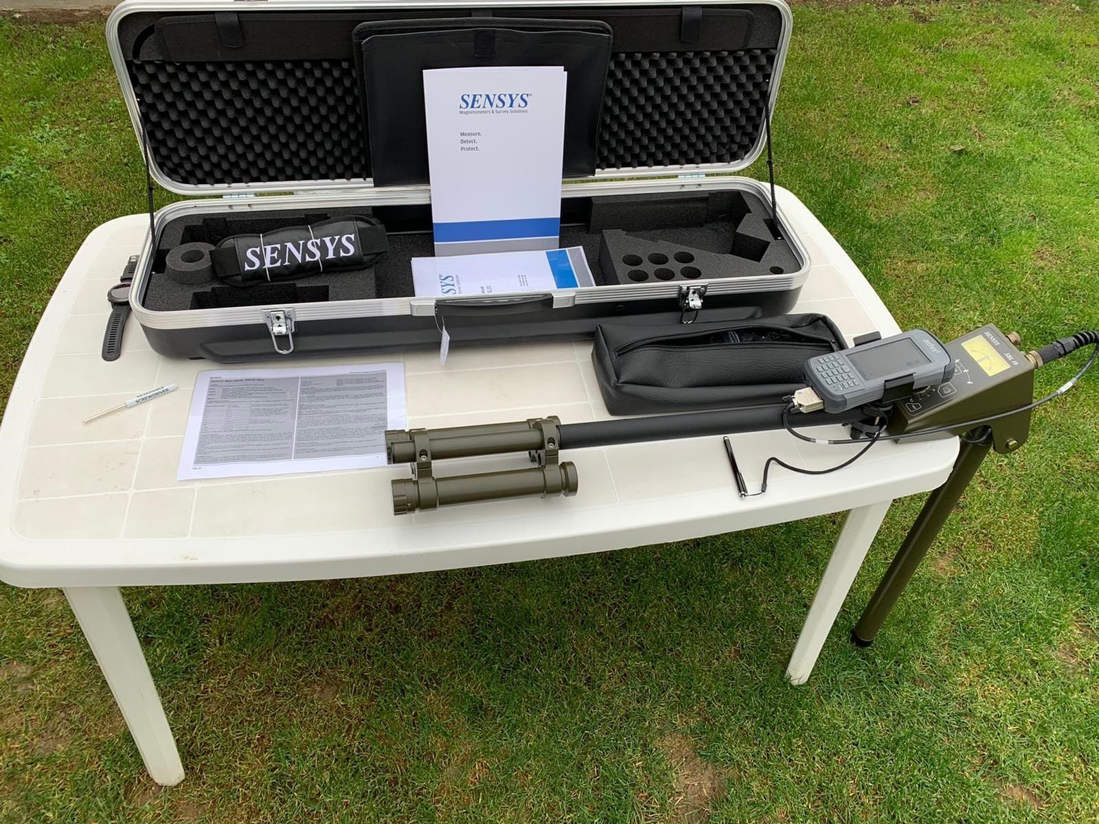
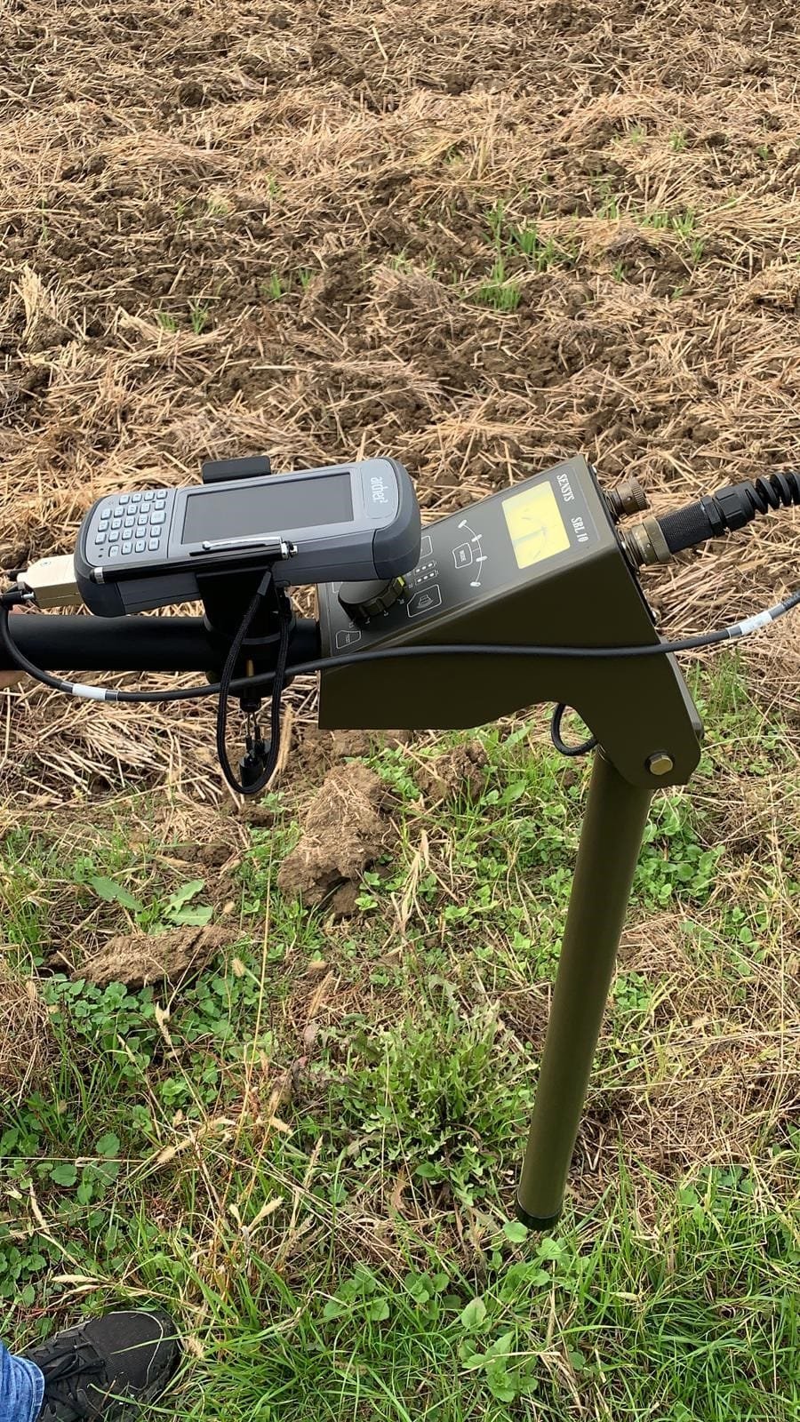
Sensys SBL 10
A GPR system for detecting anomalies over larger areas, down to six metres deep. It records data with a GPS position, so we plot every anomaly precisely on the terrain map.
How we work
From your call to full monitoring in four steps
Call and assessment
You call or send an enquiry. In a short conversation we define what we're protecting, from what and by when. For premises we arrange a free site visit.
Plan and quote
We carry out a risk assessment and a written quote with exact equipment, headcount and price. No hidden items, with the delivery deadline in writing.
Delivery
System installation or team deployment to plan. For technical systems: installation, configuration and handover with training for use.
Monitoring and maintenance
The alarm receiving centre takes over monitoring 0 to 24, and periodic servicing keeps the system in working order. One call and a technician is on site.
FAQ
Frequently asked questions: deep search
01When do I need a deep search?
Before excavation and construction on land with a wartime history, when buying a plot of unknown history, before deep cultivation of agricultural land and before works on routes where old drawings don't exist. The report protects both the workers and the investment.
02How deep can you detect?
With magnetometers, larger metal masses even beyond 1 m (shells typically to 1 m, larger projectiles deeper), with GPR structures and anomalies to 5-6 m, depending on soil type. Wet clay reduces GPR range, sandy soils increase it.
03What if you find something?
We mark the anomaly in the field and on the map. We don't touch suspicious explosive ordnance: the location is secured and the competent removal service is notified, with which we coordinate until disposal. Utilities and ordinary metal we document for the contractor.
04How much does searching a plot cost?
It depends on the area, depth and terrain accessibility. A smaller building plot is done in a day; for a quote we just need the cadastral parcel and the intended use. For larger projects we do a site visit and a search plan by section.
05Do you issue a document I can attach to the project?
Yes, a search report with the methodology, a map of the searched area and the findings. For investors it serves towards the contractor and insurer, and in case of a suspected mine-suspect area we also point to the procedures with the competent authorities.
Keep exploring